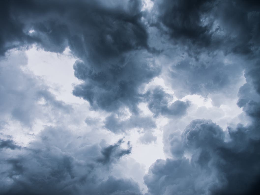
A late season Pacific storm will give the Southland a dousing Wednesday while churning up gusty winds but generating little snow below 7,000 feet, forecasters said Monday.
Along with the rain and gusty winds, there is a slight chance of thunderstorms south of Point Conception after the arrival of the storm, which was still several hundreds of miles away this morning, they said.
Early projections point to between a half-inch and an inch of rain, more along south-facing mountain slopes and near the scene of thunderstorms, according to a National Weather Service advisory. The rain is expected to taper off Wednesday night, with a chance of showers Thursday.
Find out what's happening in Pacific Palisadeswith free, real-time updates from Patch.
The snow level will be at 7,000 feet or higher through Wednesday night, then fall to between 6,000 and 7,000 feet, the advisory said, adding that "very little snow accumulation is expected below 7,000 feet with this system."
When the rain arrives and you start to wonder how much water has actually fallen from the sky, you can always check in with the interactive rainfall map from the National Weather Service.
Find out what's happening in Pacific Palisadeswith free, real-time updates from Patch.
And, of course, don't forget to check the Pali Patch Commute Page for your latest updates from the road.
- For the interactive map from the National Weather Service, click here.
- For the Pali Patch Commute Page, click here.